


We are saved. Saved, I tell you! SAVED!And it just occurred to me that doing so will probably mess up the lighting and I don't know how to make COL files for islands.

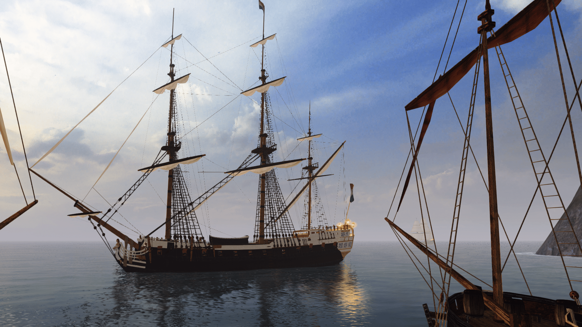
Anyone ever visited Cartagena in Beta 2.5 when it was still using the Isla Muelle island model WITH the REAL Cartagena fort?
Because that fort was added from elsewhere, it didn't have lighting files. Now look:
SHADOWS!!!
I managed to figure out how to do lighting on ISLAND models. So now we can edit islands in Maya and still make it look good in the game!
See here for an updated Tutorial on how to do this: http://www.piratesahoy.net/threads/generating-location-lighting-files-col.20784
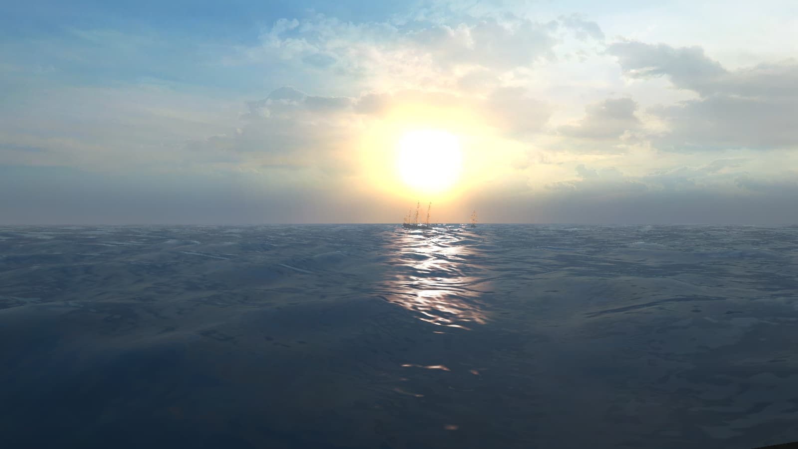
I was extremely lucky to find out how to make this work at sea; otherwise it only worked on land.
Edit: It just occurred to me, if you do end up modifying the Cartagena island model, could you also add the San Felipe fort model to it?
The default Cartagena fort from CoAS does look quite nice, but it isn't the real Cartagena fort.
I know Bartolomeu wants to keep that.


 tenochtitlan to visit ! invade it ! with cortes sword !


 ). So I don't think they have used the location very well considering all the work that must have gone into creating it.Since the whole area is quite large. However in their story it is supposed to be a deserted Temple city, and that is all.

